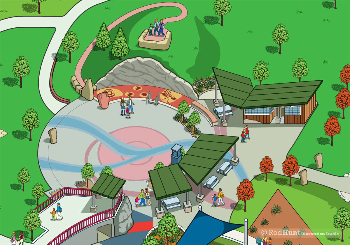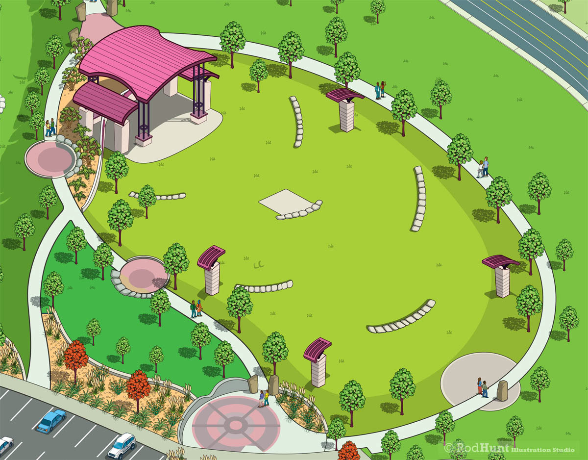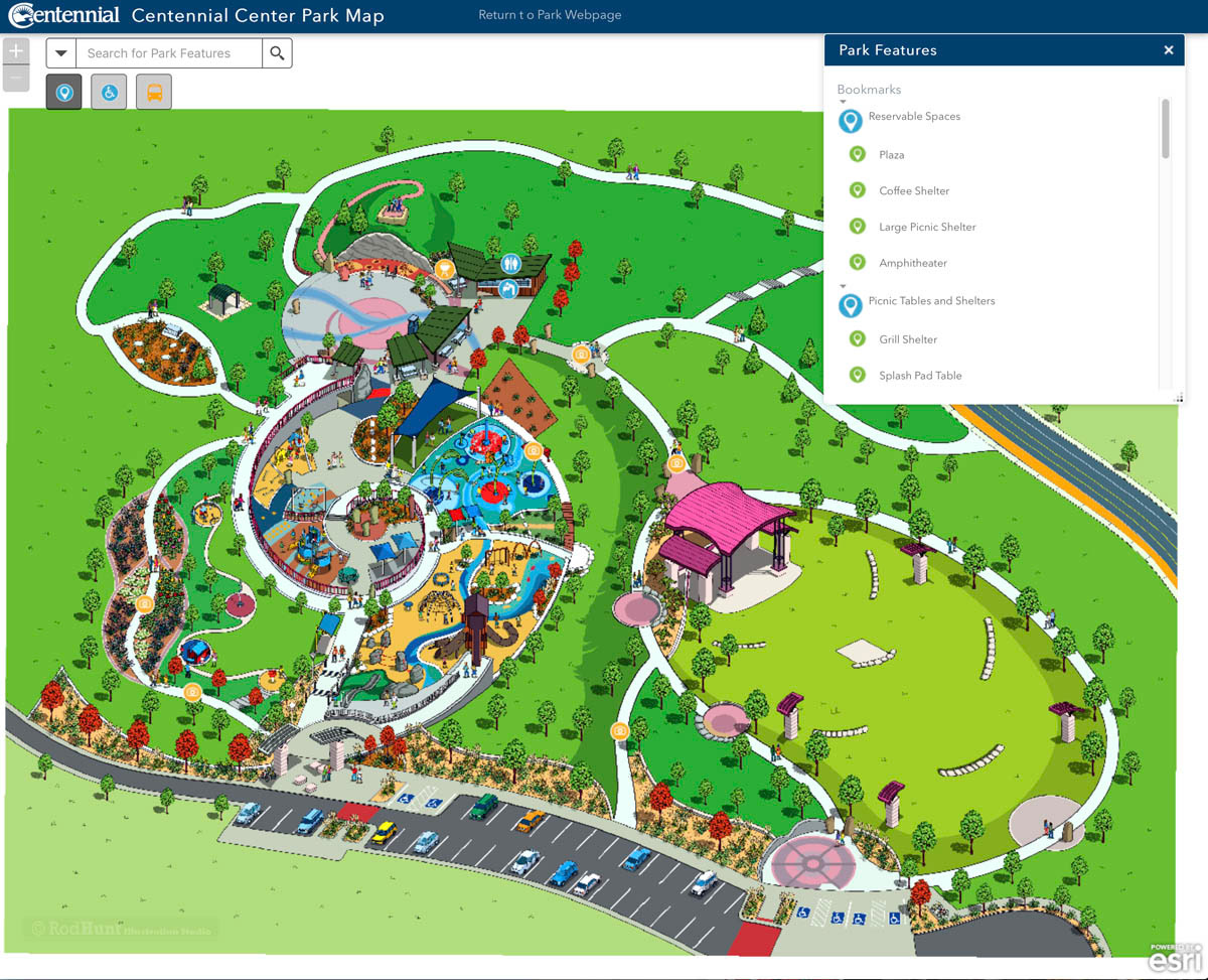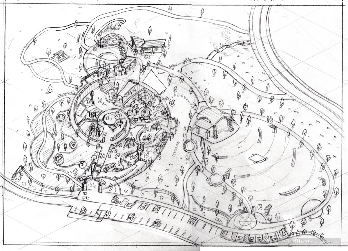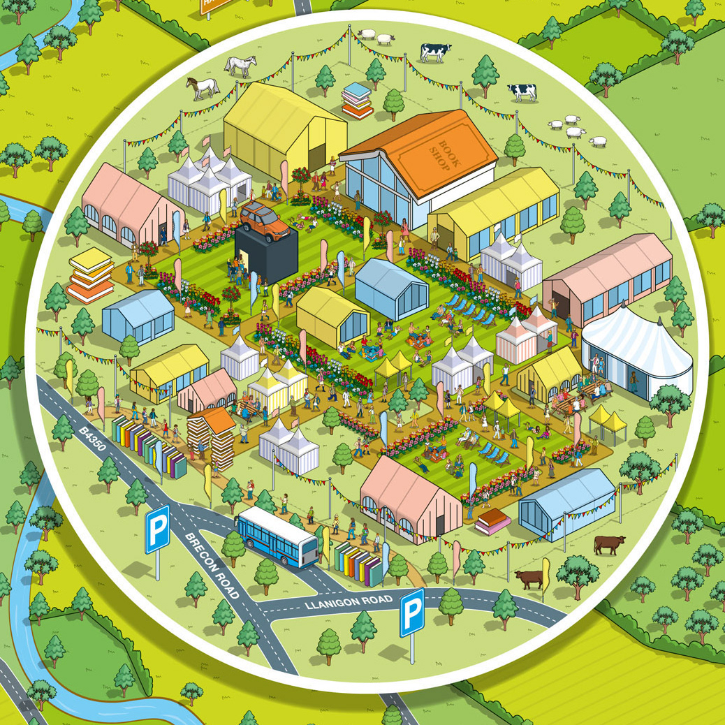
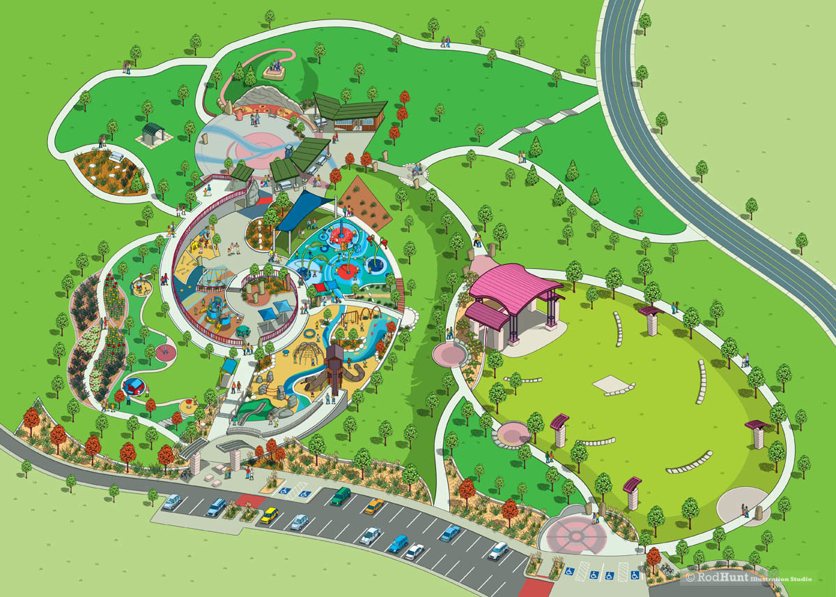
The City of Centennial in Colorado, USA commissioned Rod Hunt to illustrate a new birds eye view map for their Centennial Center Park, it's gardens, playgrounds and facilities. In 2012, Centennial opened its first City-owned park, Centennial Center Park. This 11-acre, award-winning Park is located adjacent to the Centennial Civic Center continues to be a destination for visitors throughout the state and provides a variety of features and amenities for the community’s use. The visitors guide map has been used for a Centennial Park Interactive Map, in print and for their onsite way-finding.