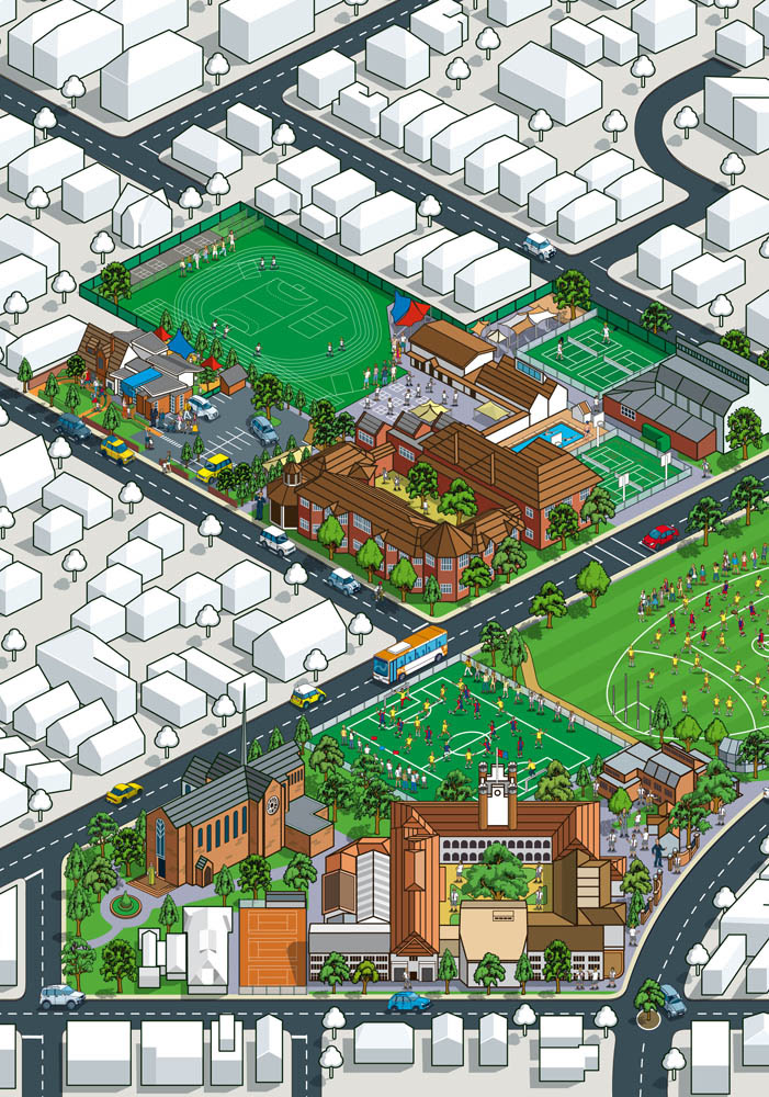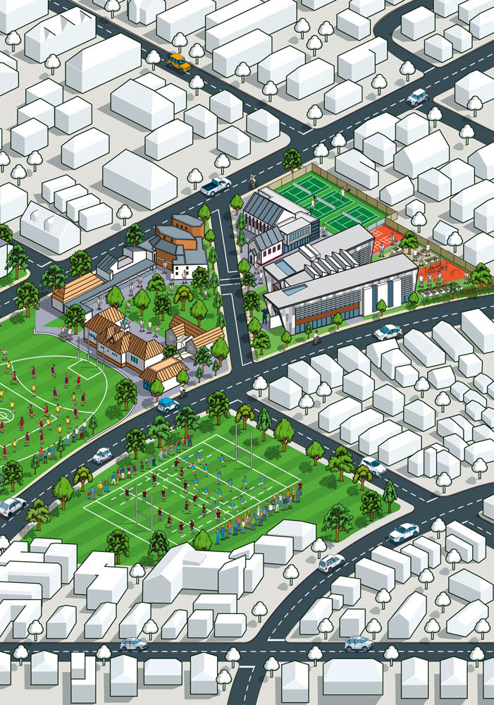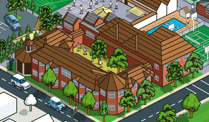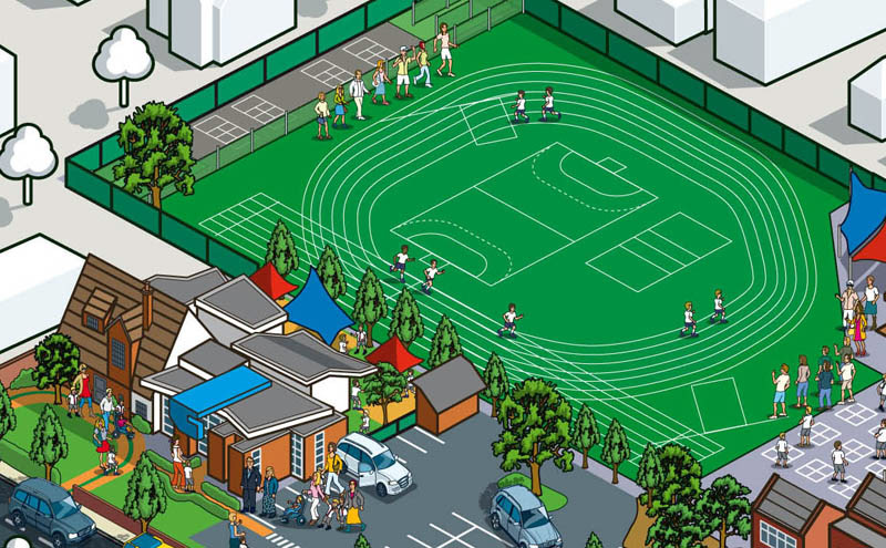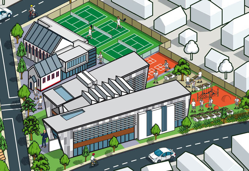
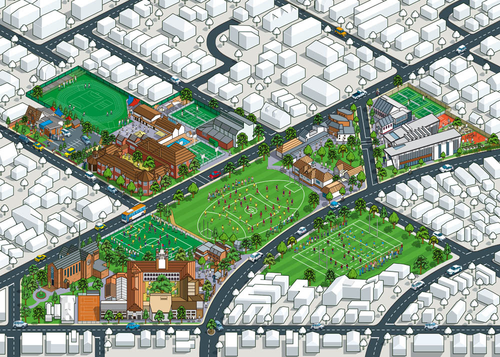
Illustrated campus map of Brighton Grammar School in Melbourne, Australia
Rod Hunt was commissioned by Brighton Grammar School in Melbourne, Australia to create an illustrated 3D isometric map of their school site. The map needed to incorporate the Junior School, Middle and Senior Schools that make up the site as well as put the school in the context of the surrounding area. Designer: Ross Donnan
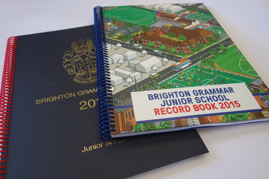
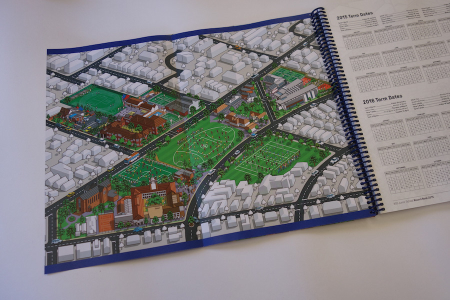
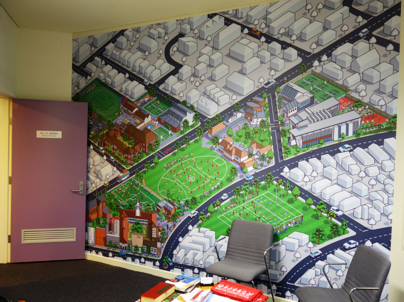
Isometric mural illustration installed in the school