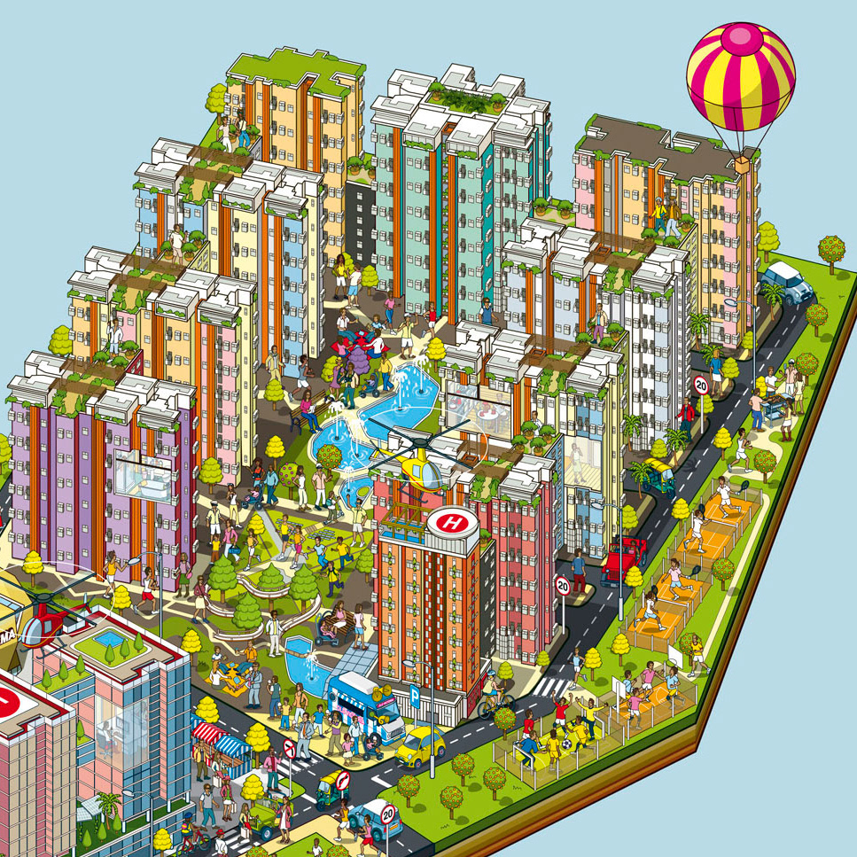
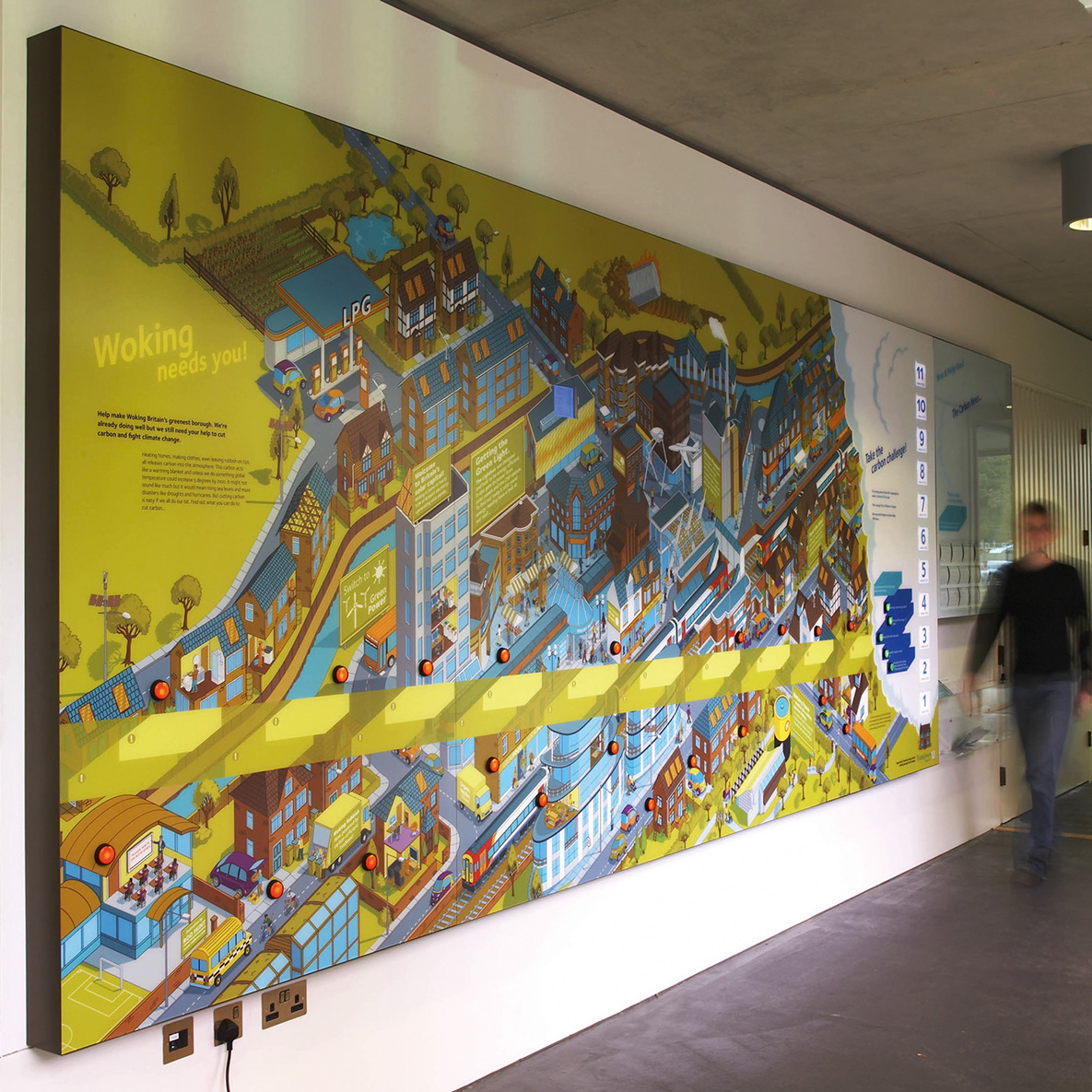
Nature markets: Lowlands - Environment Infographic
Rod Hunt was commissioned by Ecosystem Knowledge to create two environmental infographics for their Nature Markets Explainer.
The purpose of this explainer was to help users understand how nature markets work – showing how different land types and habitats can supply ecosystem services that can be traded or invested in (for example, carbon credits, biodiversity credits, and natural flood management measures). These illustrations formed the core visual component of an interactive digital tool that allows users to explore how different land management actions contribute to these markets. You can explore the Nature Market Explainer website here.
Nature Market Explainer
Welcome to the Nature Market Explainer, an interactive introductory guide designed to show how nature-based solutions work in practice across the UK. Using our Uplands and Lowlands landscape models, you can filter through different markets, including Biodiversity, Carbon, and Natural Flood Management, to see how specific on-farm features contribute to these emerging opportunities. Simply click on the highlighted areas to explore how various habitats generate value and learn more about the role that land can play in these markets.

Nature markets: Uplands - Environmental Information Graphic Illustration

Mixed Farm

Biochar

Mixed farm (arable focus)

Wetlands

Mixed Farm - Arable fields with hedgerows, wheat, sugar beet, herbal leys and public right of way with way-mark

Lowland woodland - Managed woodland and new planting areas with saplings and tree guards

Mixed Farm

Woodland Illustration

Woodland - 50 /50 split of coniferous and deciduous trees

Peatland restoration areas

Mixed farm (UK carbon code examples)

Woodland creation