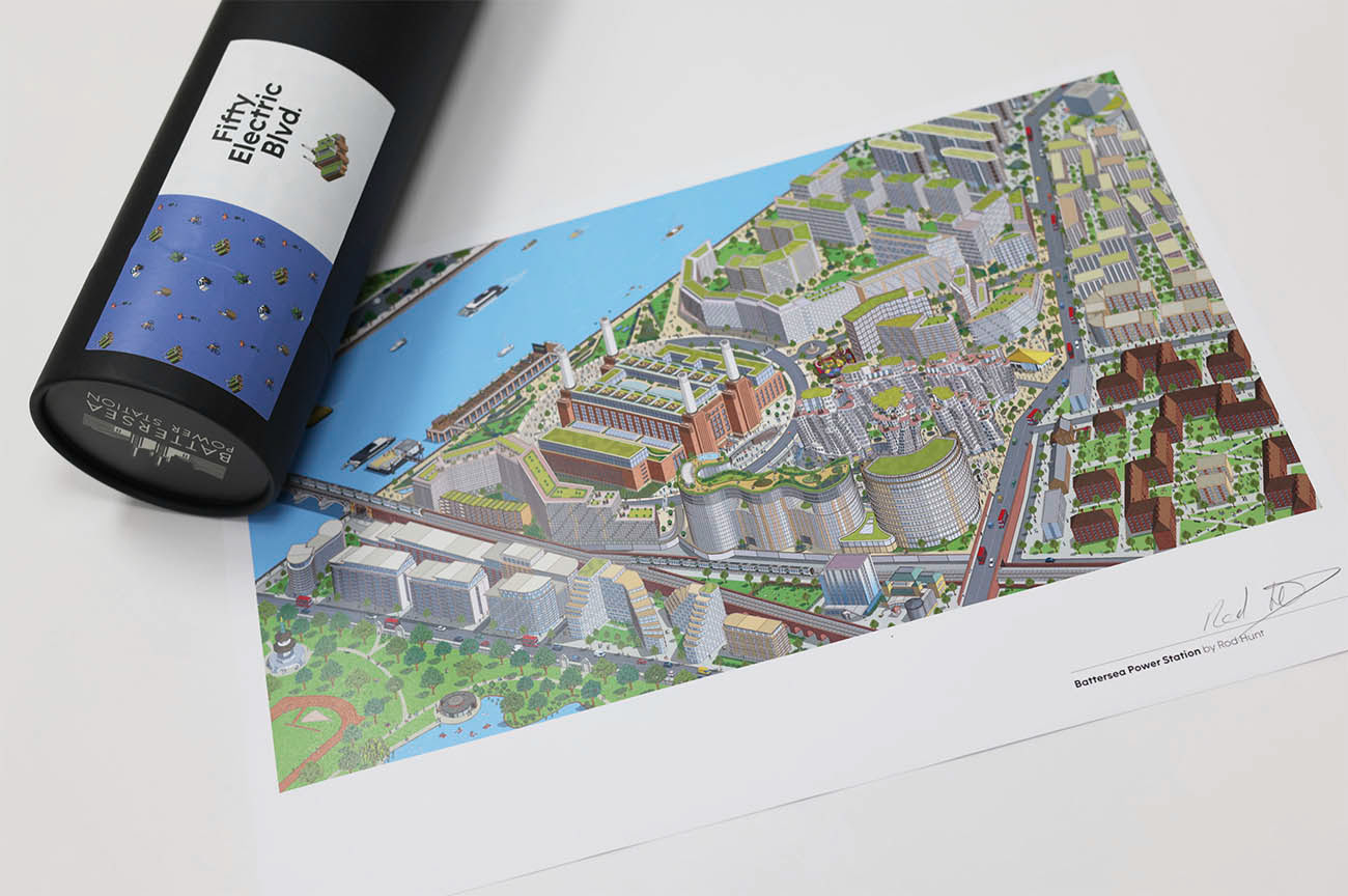

Rod Hunt was commissioned by Smart Soho to illustrate the Battersea Power Station Development neighbourhood map as part of the launch campaign for 50 Electric Boulevard, the Fosters + Partners designed office building within the 42 acre Battersea Power Station Development.
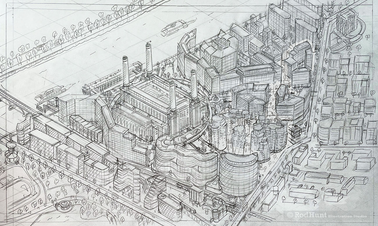
Rod created a detailed and expansive illustrated map of the overall neighbourhood of the Battersea Power Station Development including future phases. The illustration was used across the marketing brochure on the 50 Electric Boulevard website, film and other merchandise.
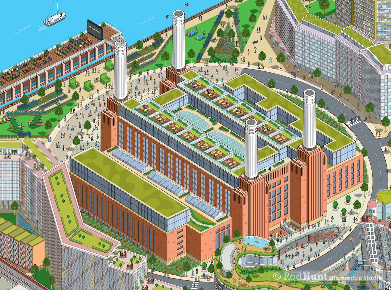
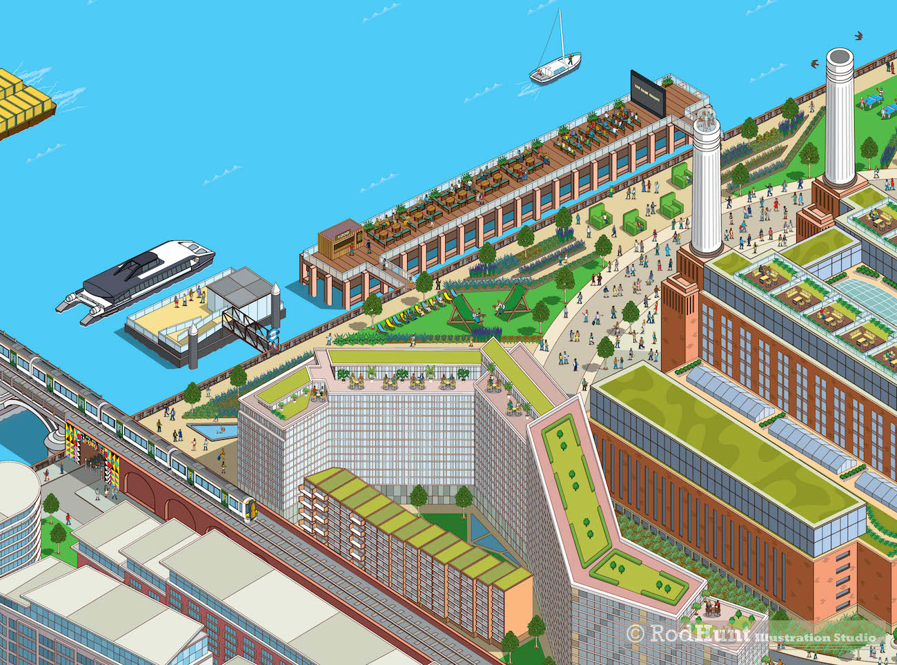
Battersea Power Station is at the heart of one of central London’s largest, most visionary and eagerly anticipated new developments, which will see this vast 42-acre (over 8 million sq ft) former industrial brownfield site become home to a community of homes, shops, bars, restaurants, cafes, offices and over 19 acres of public space.
The £9bn project will see the creation of a vibrant, mixed-use development, a new neighbourhood and business quarter for London, serviced by a Zone 1 extension to the London Underground Northern Line and the restoration of the Grade II* listed Power Station.